CAD macros to incorporate new surveys into the Compiled map of Auroville » History » Version 6
« Previous -
Version 6/40
(diff) -
Next » -
Current version
Giulio Di Anastasio, 08/05/2021 15:55
CAD macros to incorporate new surveys into the Compiled map of Auroville
A series of macros to automatically incorporate new survey data into the compiled map of whole Auroville after the conversion from QGis
- First, list out the updated layers with status. For example:
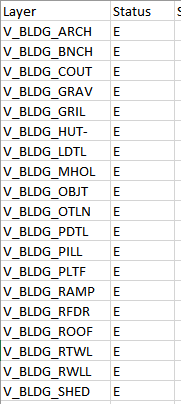
The use of this list is to help identify the CAD layers to be updated without need to operate on all CAD layers.
If the QGis layer (shapefile/geopackage) is a POLYGON layer, then in the corresponding dxf file all features will be stored in the CAD layer called “Boundary” (it is assigned by default by the QGis algorithm).
If instead the QGis layer (shapefile/geopackage) is a LINE layer, then in the corresponding dxf file all features will be stored in the CAD layer called “Line” (it is assigned by default by the QGis algorithm).
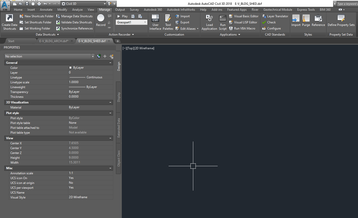
In this example, the dxf file ‘’V_BLDG_SHED----E” will be used, to be replaced into the Compiled map file. This layer is a POLYGON layer. In the example, directions are given for both POLYGON and LINE layers.

- Open the file “E-V-BLDG-SHED.dxf”, it will open as blank window.